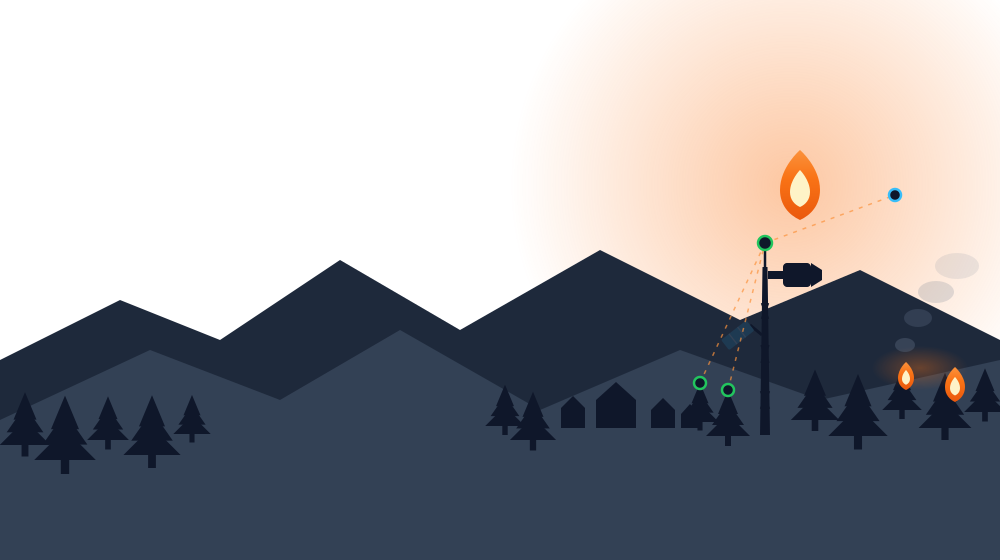
Dragonfly Wildfire fuses AI vision cameras for fire & smoke detection, long-range connected gas sensors, and a real-time command dashboard. Enabling ultra-early wildfire detection for towns and communities.
Canada's fire seasons are longer, hotter, and more destructive than they used to be. The difference between a contained fire and a climate emergency is almost always how fast it was spotted.
Sources: Natural Resources Canada · Public Safety Canada, July 2026 update. Figures current as of July 2026 and will shift as the season progresses.
Dragonfly combines edge AI vision, long-range gas/smoke sensing, and a live command center, to enable ultra-early wildfire detection.
Edge-AI cameras watch the treeline continuously, classifying fire and smoke in-frame with a confidence score — no cloud round-trip required.
Solar & battery powered field sensors track temperature, humidity, and smoke concentrations, relaying readings for kilometers over long-range radio link.
Every sensor and camera displays on a live map with instant alerting, historical trends, and official wildfire data layered right on top.
Built entirely on proven, production-grade IoT infrastructure — no custom radio stack, no proprietary cloud.
Deployed across the monitored area
Collects uplinks over long-range radio
Decodes & forwards to Cloud
Secure MQTT over WebSocket, SigV4-signed
Responders see it the instant it happens
Live sensor map, camera detections, and official wildfire data — all in one command view built for fast decisions.
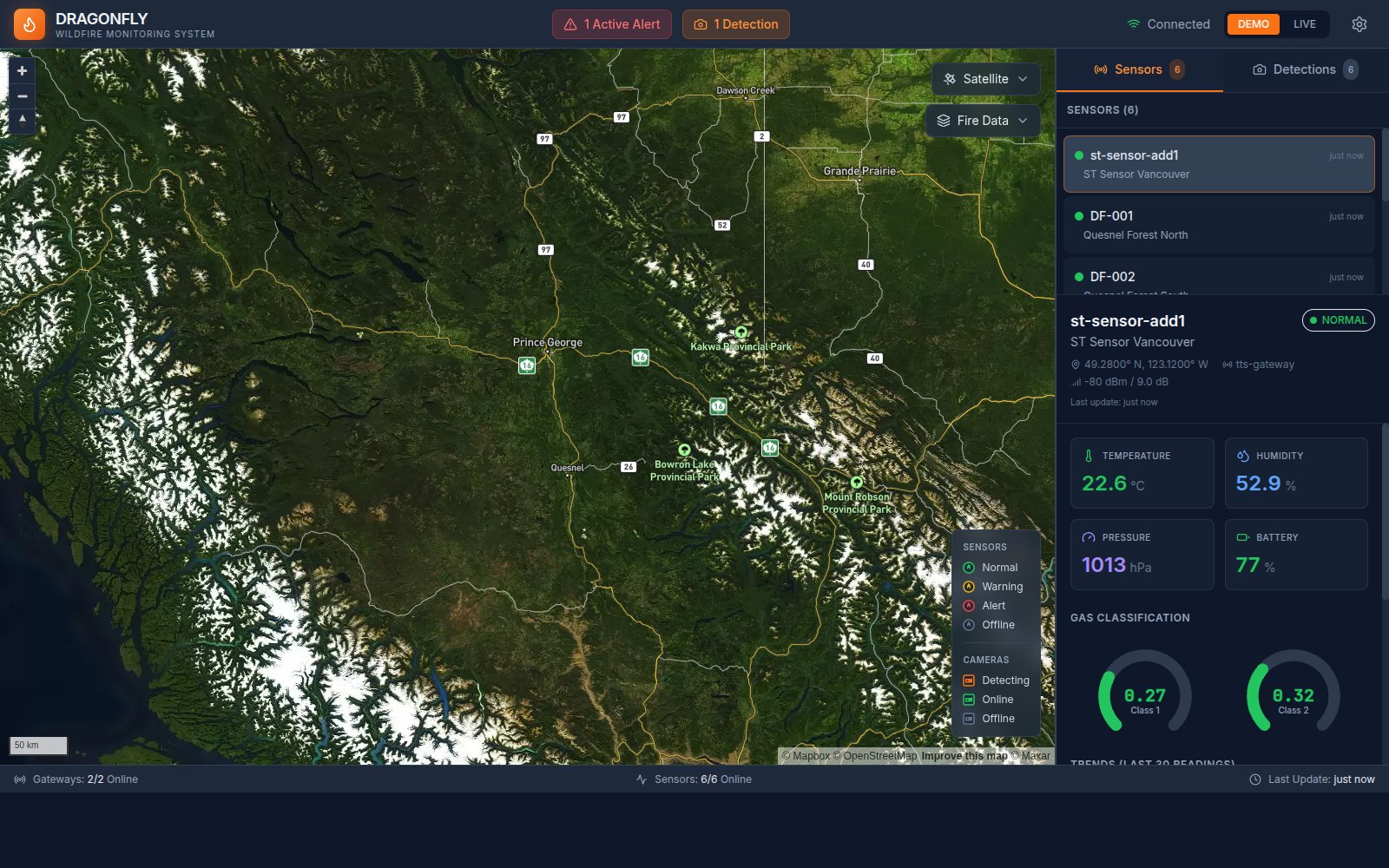
Real-time view of the monitored region with a status legend for every sensor and camera
Temperature, humidity, pressure & battery with 30-point trends
Live detection count and confidence feed from every AI camera
One click brings in official CWFIS fire danger, perimeter & hotspot layers
Normal, warning, and alert states escalate automatically as readings cross thresholds.
Temperature, humidity, pressure, and smoke detection readings from every field node.
Edge-AI cameras classify fire and smoke with confidence scores and detection labels.
Every reading feeds a rolling 30-point sparkline so you can see drift, not just snapshots.
Fire danger, perimeters, active fires, and hotspot layers straight from the official Canadian Wildland Fire Information System.
Architecture designed to grow from a handful of pilot sensors to hundreds across a region.
Municipal and First Nations communities monitoring across land, forests, and high-risk areas. Providing data responders can act on immediately.
Protect transmission corridors and substations from ignition risk, and catch equipment-adjacent fires before they spread.
Monitor timberland, industrial sites, and remote assets around the clock without needing a permanent on-site crew.
Tell us about the area you need to monitor and we'll walk you through the cameras, sensors, and dashboard live.
hello@dragonflywildfire.com
Procurement and pilot program inquiries welcome
We'll be in touch shortly to schedule your demo.
 Dragonfly Wildfire